Of all the islands in the Hong Kong UNESCO Global Geopark, Sharp Island (Kiu Tsui Chau) is the one almost anyone can reach — a 15-minute kaito ride from the waterfront of Sai Kung Town. It is small enough to explore in an afternoon yet packs in a remarkable spread of natural wonders: a sandbar that lets you walk across the open sea, boulders that look uncannily like a Hong Kong bakery favourite, a gentle swimming beach and a shaded loop trail through coastal woodland. For families, first-time geopark visitors and anyone short on time, Sharp Island is the perfect introduction to the volcanic coast.
A geopark island in miniature
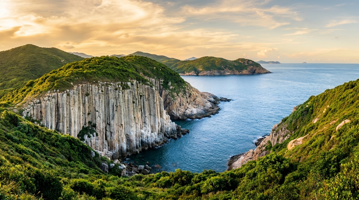
Sharp Island sits within the Inner Islands of the geopark, the cluster closest to Sai Kung Town and the most accessible of all. Unlike the dramatic, surf-battered columns of the High Island Reservoir East Dam or the remote sea caves of the outer islands, Sharp Island offers its geology gently. The rocks here are older volcanic and sedimentary stones, weathered into rounded, sculptural forms rather than the towering hexagonal pillars further east. That makes it a relaxed, low-commitment way to understand how Hong Kong’s coast was shaped — and a good first stop before tackling the more rugged sites.
The island stretches roughly two kilometres from north to south, with a sheltered bay and beach on its western side facing back toward town, and the famous tombolo at its southern tip.
The tombolo: walk across the sea
Sharp Island’s signature feature, and the reason most people make the trip, is its tombolo — a natural ridge of sand and broken coral that links the main island to the small islet of Kiu Tau just offshore. A tombolo forms when waves and currents deposit sediment in the sheltered “shadow” between an island and a nearby rock, slowly building a bridge between them. For most of the day this bridge lies hidden under the sea. But around low tide, the water peels back to reveal a glittering ribbon of pale sand studded with coral fragments, sea urchins and shells, and you can walk dry-shod across the open sea to Kiu Tau.
It is a genuinely special experience — there are very few places in Hong Kong where you can stroll between two islands on the seabed itself. But timing is everything:
- Check the tide tables before you leave town and aim to arrive in the window around low tide.
- Cross only when the bar is fully exposed, and watch the water on both sides.
- Head back well before the tide returns — the sandbar can submerge quickly, and the returning current is stronger than it looks.
- Wear shoes with grip; the coral and rock can be sharp and slippery.
The little ecosystem on the exposed bar is fragile. Look, photograph, but don’t collect shells, coral or marine life — leaving it intact keeps the experience alive for the next visitor.
The “pineapple bun” rock
Near the tombolo and along the southern shore, watch for boulders capped with a cracked, golden-brown crust that locals affectionately nicknamed “pineapple bun” rock (菠蘿包石), after the sweet, crackle-topped pastry found in every Hong Kong bakery. The resemblance is striking: the surface is broken into a grid of curved, flaking plates that really do look like the sugary crust of a bo lo bau.
The science behind it is spheroidal weathering. Water seeps into the natural joints and cracks in the rock and slowly attacks it from all sides, rounding off corners and causing the outer layers to flake away in concentric, onion-like shells. Over thousands of years this leaves behind smooth, rounded cores wrapped in a crumbling, golden-brown rind — the “pineapple bun” effect. It is one of the most photographed and most family-friendly geo-features in the whole geopark, precisely because the comparison is so easy to grasp.
Beach, barbecues and the nature trail
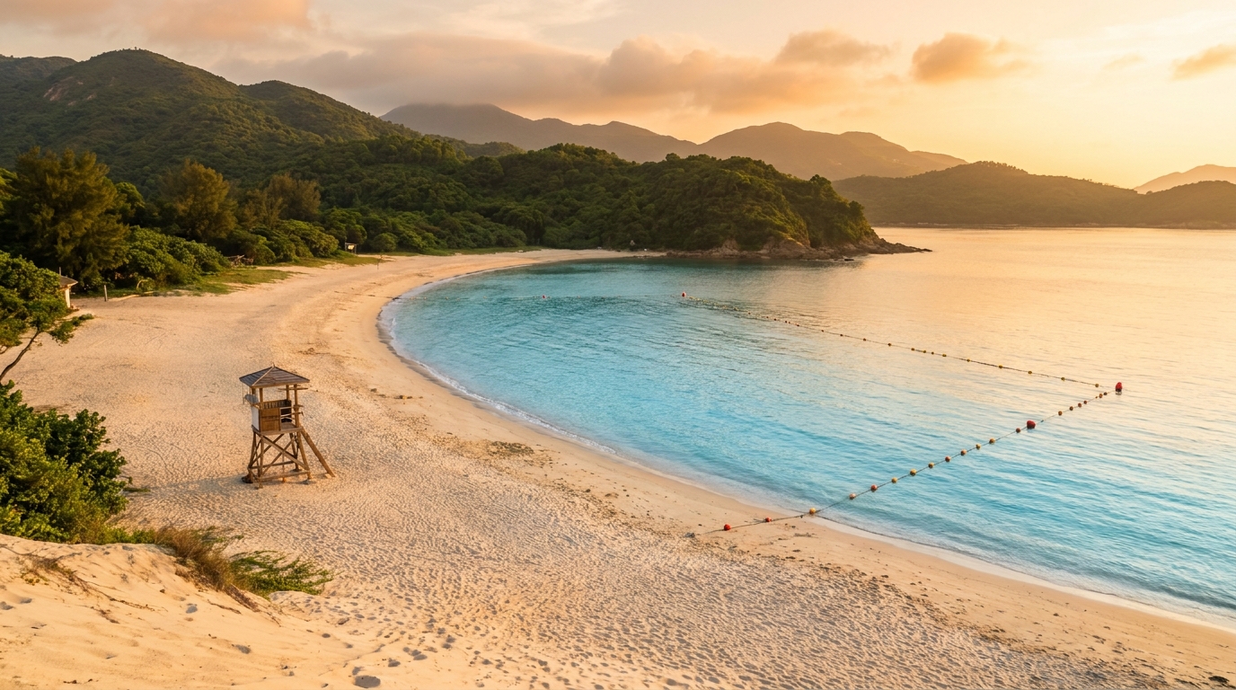
Kiu Tsui Beach
On the island’s sheltered western side, Kiu Tsui Beach is a gazetted public swimming beach with seasonal lifeguard service, changing rooms, toilets and a barbecue area. The water is calm and shallow near the shore, making it popular with families and easy swimmers. It is the natural place to base yourself for a few hours — swim, picnic, then walk out to the tombolo when the tide is right.
Kiu Tsui Nature Trail
Behind the beach, the short Kiu Tsui Nature Trail loops gently through coastal woodland. It is an easy, mostly shaded walk of well under an hour, with interpretation panels explaining the island’s rocks and plants and a couple of viewpoints over the bay and back toward Sai Kung Town. It is suitable for children and anyone wanting a relaxed leg-stretch rather than a serious hike.
How to get there
Sharp Island is served by licensed kaito (sampan) ferries from the Sai Kung public pier, a crossing of roughly 15 minutes. There is no fixed timetable in the way a bus has one — instead, boatmen work the waterfront promenade calling out “Kiu Tsui” and selling round-trip tickets. Pay cash, and always confirm the time of the last return boat before you set off, especially late in the afternoon.
| Step | Detail |
|---|---|
| Get to Sai Kung Town | Minibus 1A from Choi Hung MTR, or KMB bus 92 from Diamond Hill — see the transport guide |
| Find the kaito | Walk the Sai Kung waterfront; boatmen call “Kiu Tsui” and sell round-trip tickets |
| Crossing time | About 15 minutes each way |
| Payment | Cash only; confirm the last return boat |
First-time visitors should read the full getting-to-Sai-Kung guide for the city-to-town leg, since there is no MTR station in Sai Kung itself.
Best time to visit
The single most important factor is the tide — plan your trip around a daytime low tide if you want to walk the tombolo, and double-check the times the night before. Weekdays and early mornings are quieter; weekends and public holidays can be busy, especially in summer. The shoulder seasons of autumn and spring bring the most comfortable weather: warm enough to swim, cool enough to walk, with clearer skies. For a deeper look at seasons and crowds, see our guide to the best time to visit Sai Kung.
Safety and practical tips
- Tide safety first. Never get caught on the tombolo by a rising tide. If in doubt, don’t cross.
- Bring everything you need. There are no shops on the island; carry water, snacks, sun protection and a hat.
- Footwear matters — the coral and weathered rock are sharp and can be slippery.
- Respect the geology and marine life. Don’t hammer, climb on fragile features, or collect samples.
- Carry out your rubbish. Facilities are limited, so take everything home with you.
Make a day of it
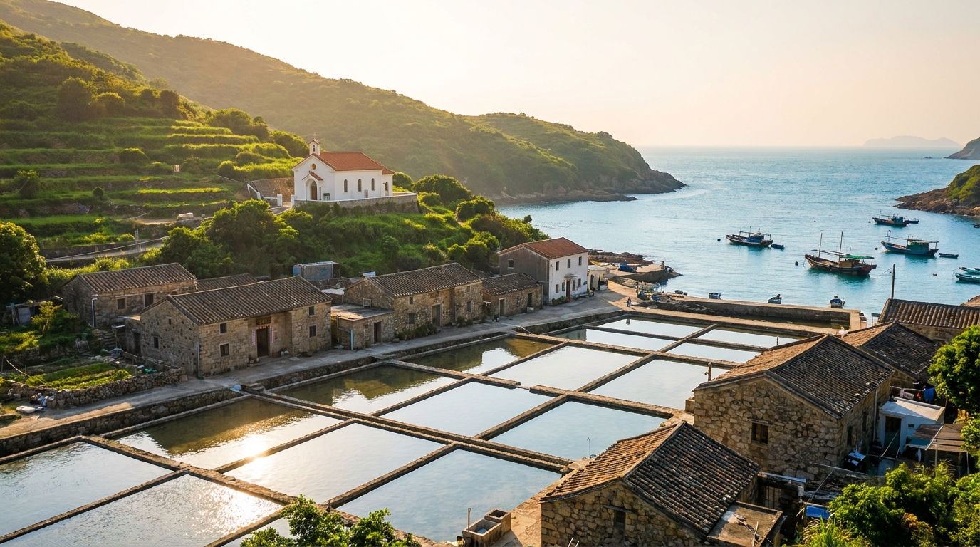
Sharp Island combines beautifully with the rest of the inner geopark. A popular pairing is the quieter, boat-only Hap Mun Bay (Half Moon Bay) just to the south — often rated one of Hong Kong’s prettiest beaches — reached by the same kaito operators. History lovers can add the Hakka-Catholic salt-pan island of Yim Tin Tsai, also a short hop from the pier. Round off the day with a seafood dinner back in Sai Kung Town. For the full geopark experience, follow up another day with the unmissable High Island Reservoir East Dam and its hexagonal columns.
Frequently asked questions
How do I get to Sharp Island?
Take a kaito ferry from the Sai Kung public pier; the crossing takes about 15 minutes. Boatmen call out ‘Kiu Tsui’ along the waterfront and sell round-trip tickets for cash.
Can I really walk across the sea to the small island?
Yes — at low tide a natural sandbar called a tombolo connects Sharp Island to the islet of Kiu Tau. Check the tide tables before you go, cross only when it is fully exposed, and never linger as the water returns.
Is there a beach for swimming?
Yes. Kiu Tsui Beach is a gazetted swimming beach with seasonal lifeguards, a barbecue area and basic changing facilities. For a quieter, boat-only alternative nearby, see Hap Mun Bay.