Sharp Peak — Nam She Tsim in Cantonese — is a name that makes Hong Kong hikers sit up. At just 468 metres it is far from the territory’s tallest summit, yet its perfect pyramid silhouette and savagely steep, eroded flanks have earned it a fearsome reputation as one of the city’s most challenging climbs.
This is not a casual walk. It is a steep, exposed scramble on loose, sun-baked ground, and it should only be attempted by fit, experienced hikers in good conditions. Get it right, though, and you are rewarded with what many consider the finest coastal view in all of Hong Kong.
One of the “three sharp peaks”
Sharp Peak is the most famous of Hong Kong’s so-called “three sharp peaks” (尖三峰) — a loose trio of pointed summits prized by experienced walkers for their steepness and views, alongside High Junk Peak near Clear Water Bay and Castle Peak in the far west. Of the three, Nam She Tsim is widely regarded as the toughest and most committing, its upper slopes scoured into deep, slippery erosion gullies by decades of foot traffic and tropical rain.
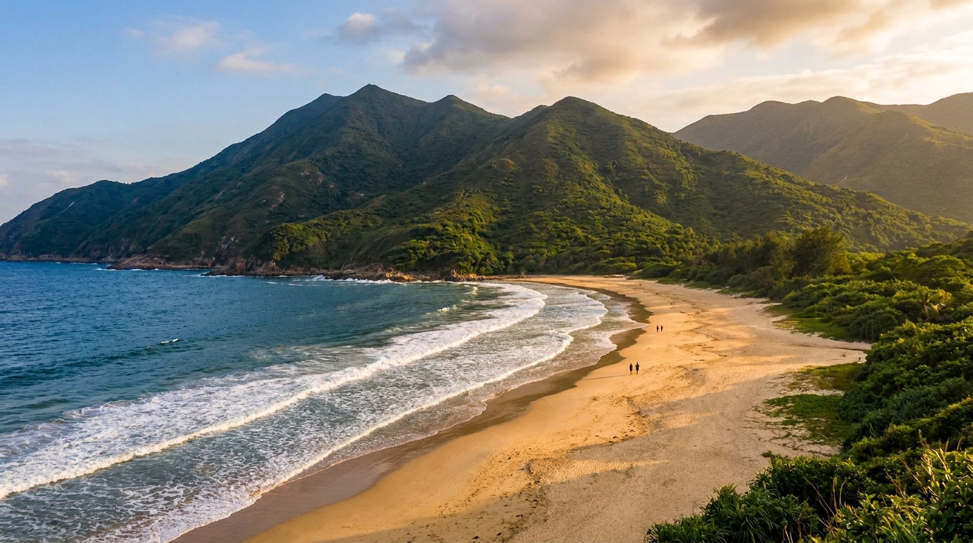
The peak rises at the wild northeastern edge of Sai Kung East Country Park, directly above the golden beaches of Tai Long Wan (Big Wave Bay). From the summit the land falls away dramatically to the sea, and the curving arc of pale sand, turquoise water and green hills below is genuinely spectacular.
What you’ll see from the top
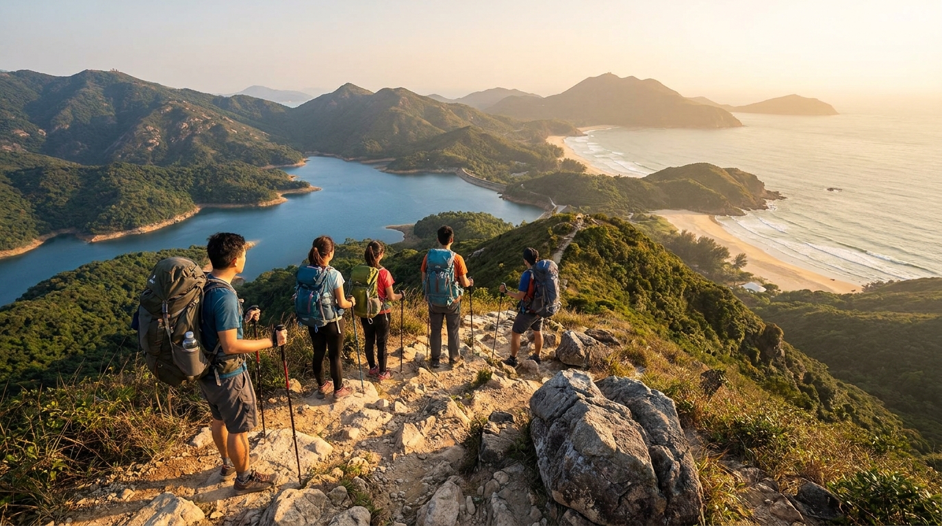
The reward for the climb is the view, and it is hard to overstate. On a clear day from the summit ridge you can take in:
- The full sweep of Tai Long Wan — Sai Wan, Ham Tin and Tai Wan beaches laid out below like a map.
- The deep blue waters of Long Harbour (Tai Tan Hoi) and the islands of Sai Kung’s eastern coast.
- The distant ridgelines of the MacLehose Trail snaking across the peninsula.
- On the very clearest days, far-off peaks across Mirs Bay toward the mainland coast.
The final approach along the narrow summit ridge is airy and exposed, with steep drops on either side. For confident hikers this is exhilarating; for anyone uneasy with heights it can be genuinely frightening.
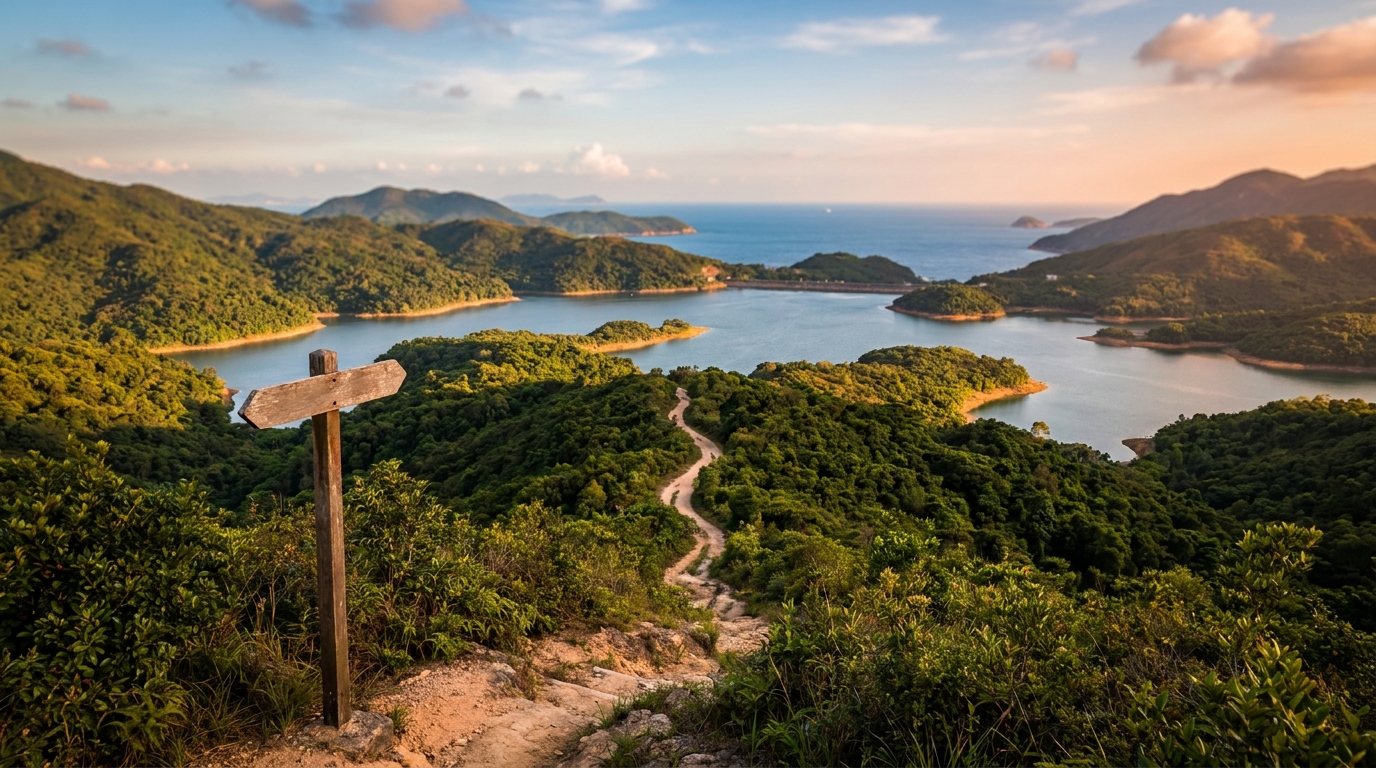
Routes to the summit
There is no road and no public transport to the foot of Sharp Peak. Every route is a serious hike in its own right, so reaching the base already requires effort and time. The two most common approaches both begin after you have travelled to the Pak Tam Chung gateway and walked in from there.
From Chek Keng
A popular line approaches from Chek Keng, an old village inlet on the trail network. From here hikers traverse toward Tai Long village and the saddle below the peak, then tackle the brutally steep final ascent. The climb up the eroded gullies is relentless — expect to use your hands, scramble over loose rock and gritty soil, and pause often.
Via the MacLehose Trail and Tai Long
Many walkers fold Sharp Peak into a bigger day by approaching along MacLehose Trail Section 2, branching off near Tai Long village behind Ham Tin beach. This lets you combine the summit with a swim or rest at Tai Long Wan, though it makes for a very long outing. The descent on the far side, often toward Mai Fan Teng and down to the beaches, is steep and slippery and demands as much care as the climb.
| Route | Start area | Character | Best for |
|---|---|---|---|
| Via Chek Keng | Chek Keng inlet | Direct, very steep ascent | Strong hikers wanting the peak |
| Via MacLehose / Tai Long | Tai Long village | Longer, combines beaches | A full day with a beach reward |
| Traverse over the top | Either side | Steep up and steep down | Confident scramblers only |
Whichever way you go, allow a long full day, start early, and build in a generous safety margin before the last boats and buses.
Difficulty and safety — read this carefully
Sharp Peak has a record of accidents, and the warnings here are not for show. Please take them seriously.
- Steep, eroded ground. The upper slopes are deeply gullied, loose and gritty. Footing is poor and slips are easy, especially on the descent.
- Exposure. The summit ridge has steep drops and no railings, fences or chains. A fall here would be very serious.
- No facilities, no water, no shade. There is nothing on the mountain — no toilets, shops, drinking water or shelter. Carry everything.
- Patchy phone signal. Do not assume you can call for help. Tell someone your route and expected return time.
- Heat and humidity. Hong Kong’s summer sun is fierce and the climb is unshaded. Heat exhaustion is a real risk.
- Weather. Avoid the peak in rain, after heavy rain (the gullies become treacherously slick), or when thunderstorm or strong-wind warnings are in force.
This is a climb for fit, experienced hikers with sure footing, good route-finding, the right footwear and an honest sense of their own limits. If you are new to Hong Kong hiking, build up on gentler trails in Sai Kung East Country Park first, and consider going with someone who knows the route.
What to bring
- At least 2–3 litres of water per person — there is nowhere to refill.
- Sturdy hiking shoes with good grip (not sandals or trainers).
- Sun hat, sunscreen and high-energy snacks.
- A fully charged phone, a basic first-aid kit and ideally a paper map or offline GPS.
- A rubbish bag — carry out everything you bring in.
Getting there
Because Sharp Peak sits deep in the country park, your journey starts with reaching Sai Kung itself. From the city, take KMB bus 92 from Diamond Hill MTR or green minibus 1A from Choi Hung MTR to Sai Kung Town. From there, continue to Pak Tam Chung by bus 94 (or 96R on Sundays and holidays) and walk in. See the full transport guide for routes, frequencies and the all-important last-bus times.
Make a day of it
Sharp Peak is best treated as the centrepiece of a long, well-planned adventure rather than a quick tick. Many hikers pair the climb with a cooling swim at Tai Long Wan, then walk out via the MacLehose Trail as the light softens over the hills. Done with respect and preparation, Nam She Tsim offers one of the most rewarding — and hard-won — days out anywhere in Hong Kong.
Frequently asked questions
How hard is Sharp Peak?
Very hard. Nam She Tsim is one of Hong Kong’s most demanding peaks — a steep, eroded, exposed scramble with loose footing and no railings. It suits only fit, experienced hikers with good route-finding and a head for heights.
How do you get to Sharp Peak?
There is no direct transport. Most hikers reach it on foot from Chek Keng or via the MacLehose Trail and Tai Long village, after first travelling to Pak Tam Chung. Allow a long full day.
Are there facilities on Sharp Peak?
None. There are no toilets, shops, water or phone reception on the climb. Carry everything you need, including plenty of water, and tell someone your plan before you set off.